The pretty Peak District village of Hope in Derbyshire is often overshadowed by its near neighbour Castleton, but it has loads to offer the visitor. As the name suggests it’s located in the heart of the Hope Valley and it’s surrounded by stunning scenery, overlooked by the slopes of Win Hill and Lose Hill.
Hope is surrounded by fascinating ancient history. There’s a Bronze Age barrow known as the Folly Ring located in the village just off Pindale Road. This Scheduled Ancient Monument is a steep-sided platform cairn with a diameter of 25.5 metres, approx 1 metre high. Just a few miles along the road in the nearby hamlet of Brough, it’s also well worth finding the Roman fort referred to as Navio. It was once a substantial structure covering an area of over 2 acres. Originally constructed from wood and later rebuilt in stone, sections of the central and boundary walls are still visible.
The village today consists of a bustling main street with a collection of shops, cafés and pubs, and a number of quiet lanes that spread outwards into the surrounding hills, on which you’ll find pretty cottages and lush fields.
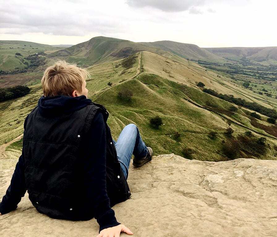
To see this beautiful area at its best, make a day of it and try our 7 mile walk from the village to Hope Cross, a medieval road marker on a packhorse route. It provides amazing views of this part of the Peak District.
Click HERE to access the full route description, with free-to-download PDF and GPX track.
How do I get to Hope?
Hope is located in Derbyshire on the A6187, between Hathersage and Castleton. The postcode for the church in the centre of the village is S33 6RD.


